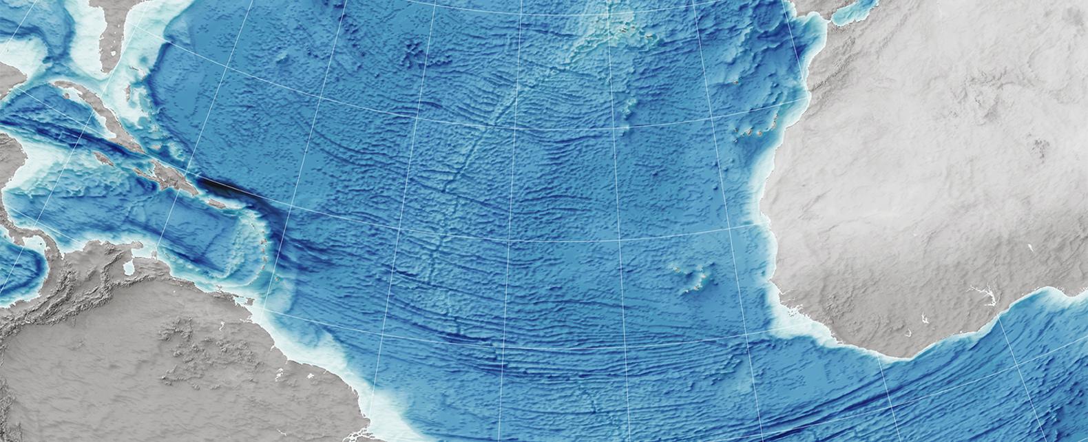
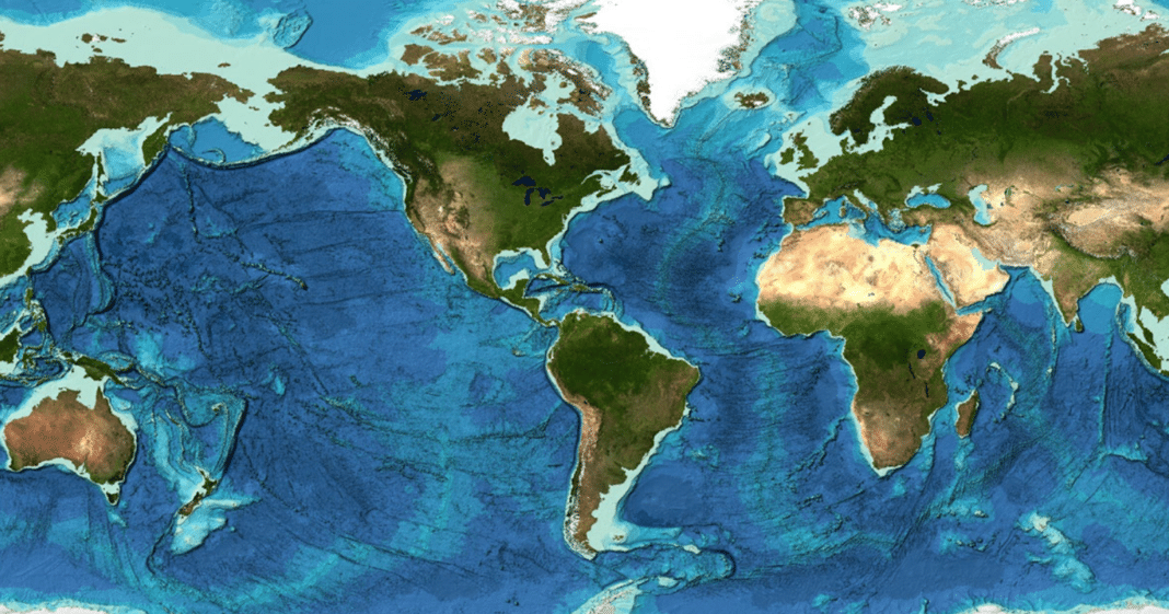
Only 35 percent of the ocean floor has been mapped in as much detail as the surface of mars

Only 35 percent of the ocean floor has been mapped in as much detail as the surface of Mars.

The vast and mysterious ocean floor, covering approximately 71 percent of our planet, remains one of the least explored and understood areas on Earth. Despite technological advancements and our increasing interest in outer space, it might come as a surprise that only 35 percent of the ocean floor has been mapped in as much detail as the surface of Mars1^. This fact highlights the remarkable disparity between our knowledge of the depths below compared to the expanses beyond.
Mapping the ocean floor is an incredibly challenging task due to the vastness and depth of the world’s oceans. To put it into perspective, the average depth of the Earth’s oceans stretches to around 12,080 feet (3,682 meters), with the Mariana Trench being the deepest known point at a staggering 36,070 feet (10,994 meters)1^. As a comparison, the average depth of Mars is a mere 2.5 miles (4 kilometers)1^.

Despite the challenges, there have been significant efforts to explore and map the ocean floor. Modern technology, such as sonar systems, has provided valuable data, allowing scientists to create topographic maps of the seafloor. Ships equipped with echo sounders transmit sound waves that bounce off the ocean floor and return to the ship, providing valuable depth information. This technique, known as multibeam sonar, allows for more accurate and detailed mapping than ever before1^.
One of the most extensive projects focused on ocean floor mapping is the General Bathymetric Chart of the Oceans (GEBCO) initiative, a collaborative effort led by the International Hydrographic Organization (IHO) and the Intergovernmental Oceanographic Commission (IOC). GEBCO aims to provide the most comprehensive maps of the entire ocean floor, combining data from various sources and institutions. These efforts have significantly contributed to our understanding of the underwater landscape but have still only covered a small portion of the ocean floor1^.
Mapping the ocean floor is not only crucial for scientific purposes, but it also has practical applications. Accurate seafloor mapping helps in the identification of potential hazards, such as underwater volcanoes, seamounts, and tectonic plate boundaries. It also aids in understanding marine ecosystems, locating valuable resources, and determining suitable locations for laying cables and pipelines1^.
Despite the progress made in ocean floor mapping, there is still much work to be done. The remaining 65 percent of the ocean floor remains largely unexplored and poorly understood. With ongoing advancements in technology, international collaborations, and the support of organizations like GEBCO, we can hope to uncover the mysteries hidden beneath the world’s oceans and gain a more comprehensive understanding of our planet’s vast marine realms1^.
Tags
Share
Related Posts
Quick Links
Legal Stuff

